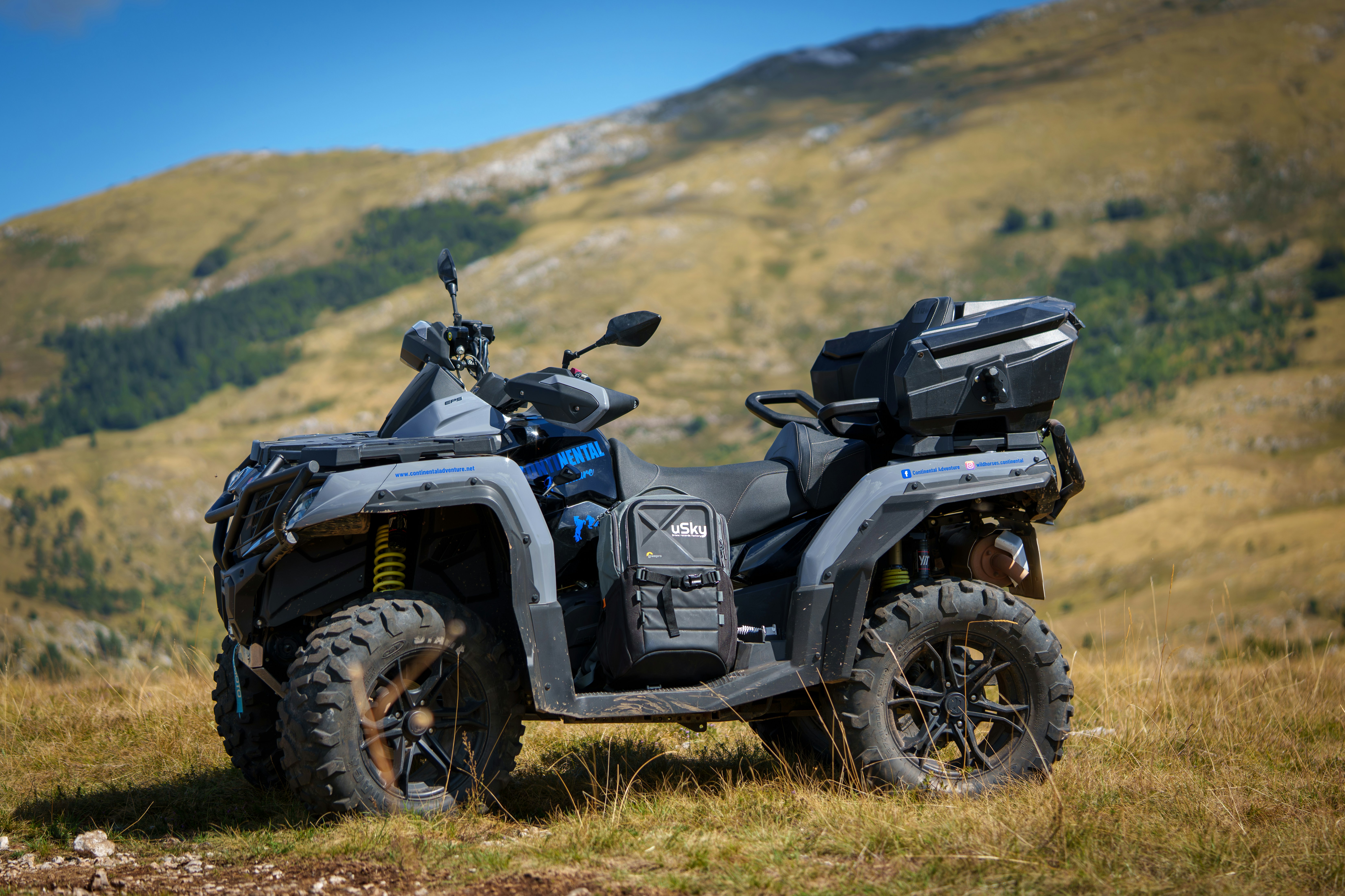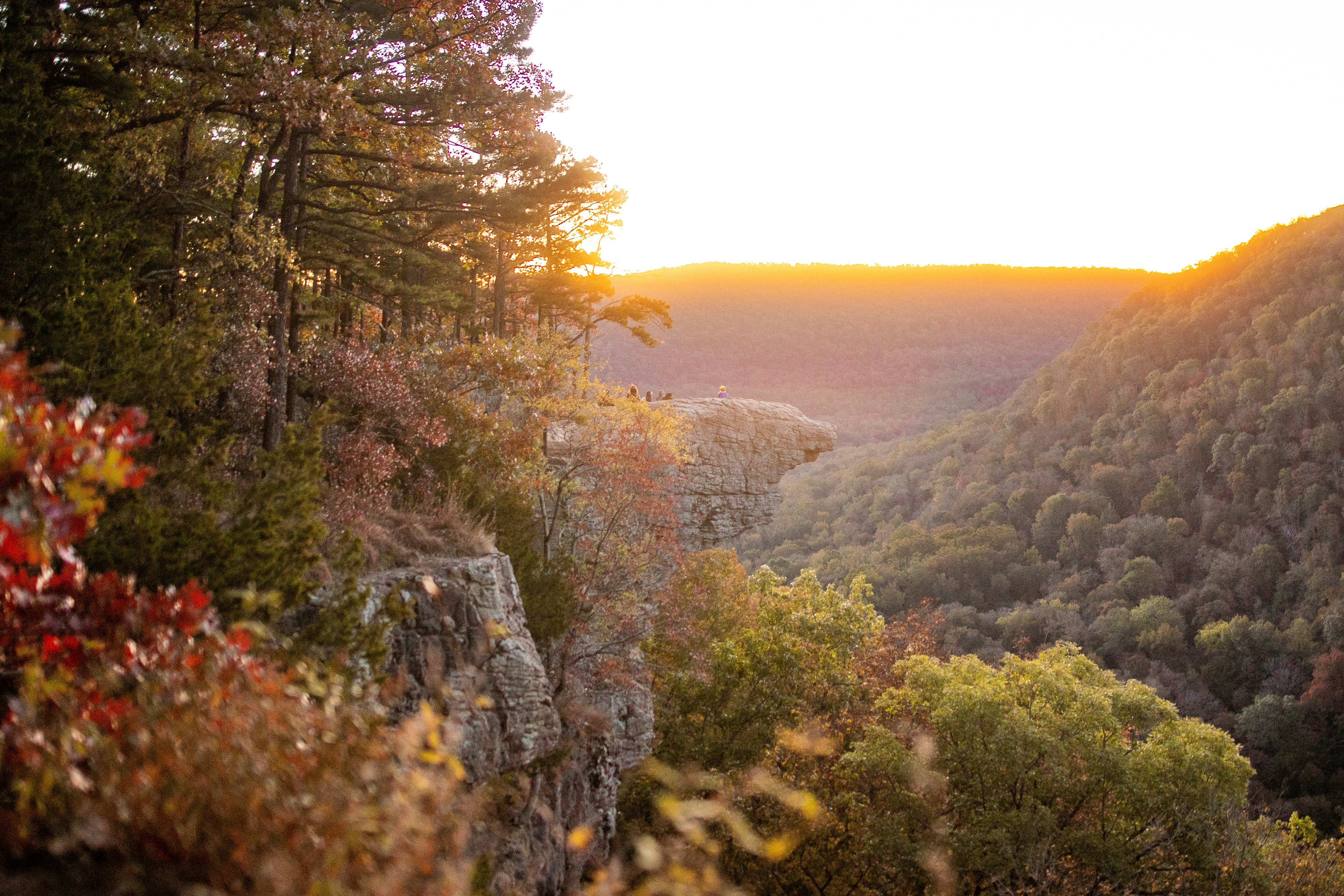
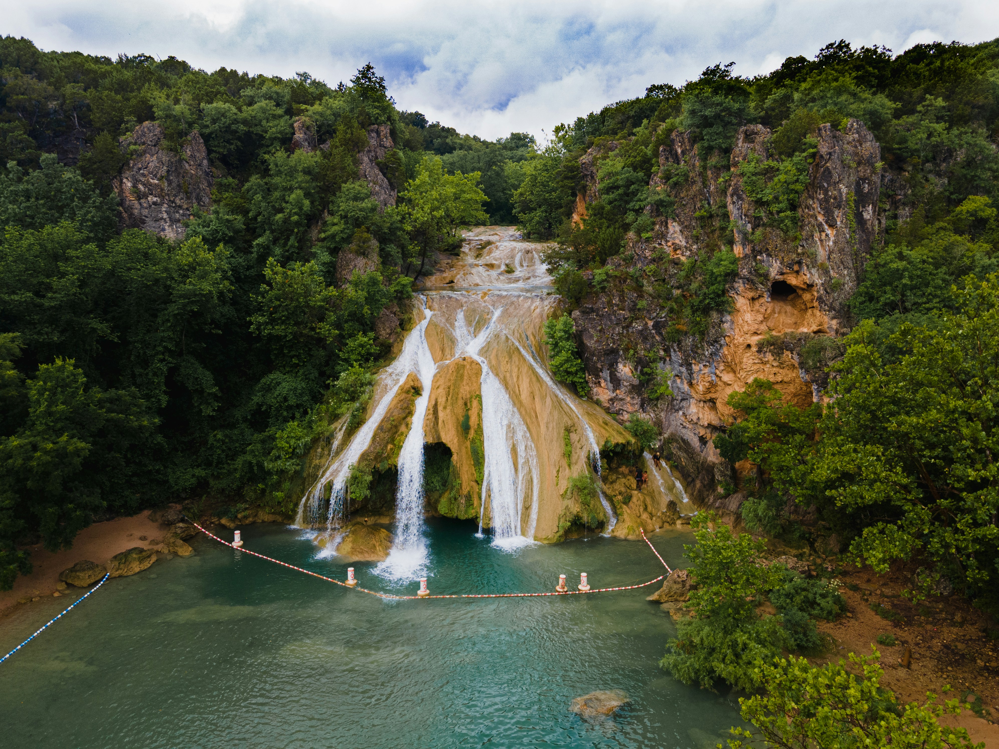

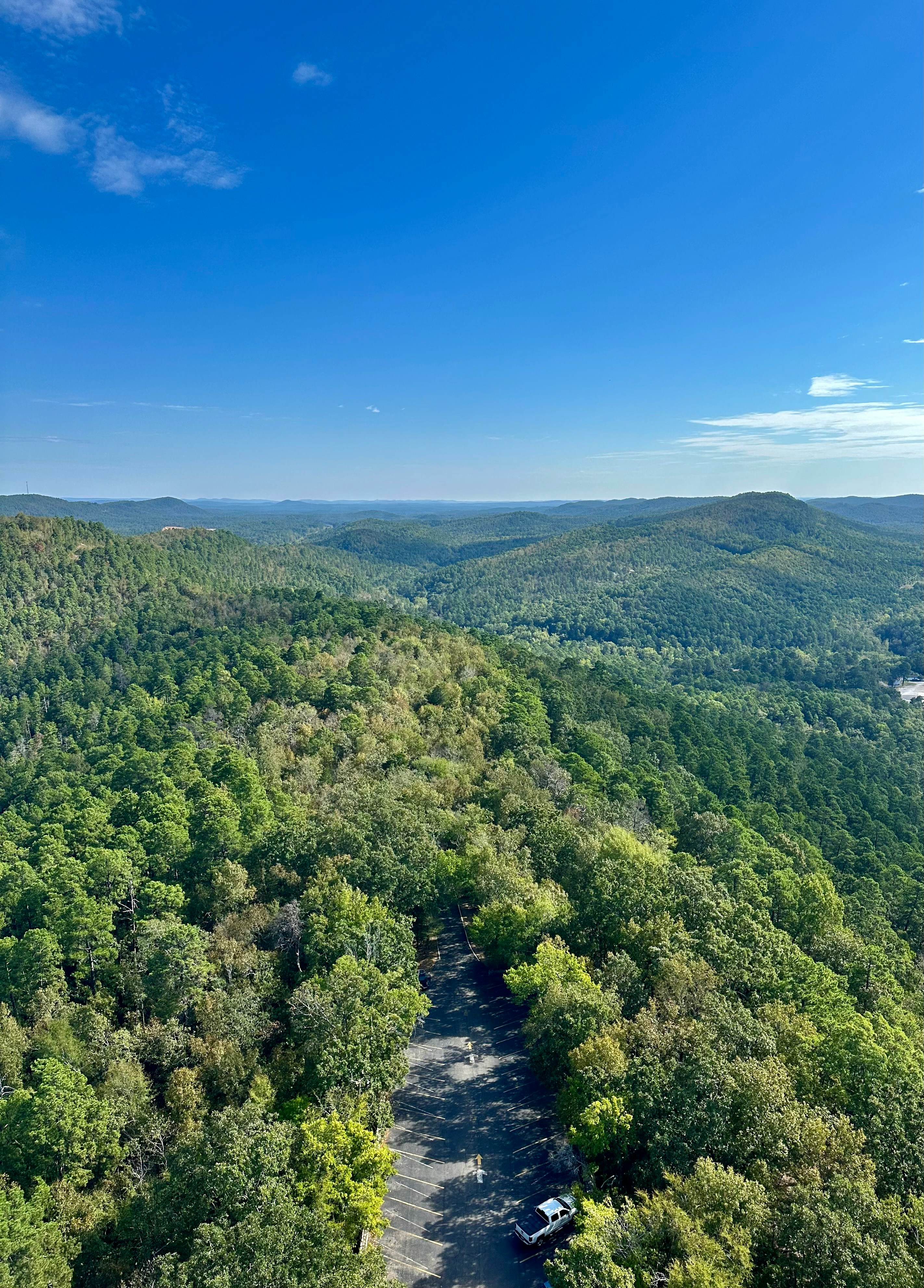
Tucked into the Ozark St. Francis National Forest along Highway 7 near Dover, Arkansas, the Moccasin Gap Trail System is one of the state's most rewarding ATV destinations. With more than 30 miles of marked loops carved through hardwood forest, riders can expect creek crossings, rocky climbs, and waterfalls tucked into nearly every hollow. Whether you are bringing the family out for a relaxed weekend or chasing technical rock gardens on a side-by-side, Moccasin Gap has a route built for your skill level.
Moccasin Gap Trail System at a Glance: Moccasin Gap offers more than 30 miles of marked ATV trails near Dover, Arkansas. Stave Mill Falls is the best loop for beginners, while High Mountain offers the most technical riding. A Forest Service permit is required for marked trails west of Highway 7, and fall is one of the best times to ride thanks to cooler temperatures and changing foliage.
Open the TrailIntel app and check trail conditions before hitting the road. Since several crossings can rise quickly after rain and some sections get muddy in shoulder seasons, a quick look at current hazard reports can save your trip. We’re here to make your trip easier and more enjoyable, saving you the hassle of getting caught in unridable conditions.
Overview of the Moccasin Gap Trail System
Moccasin Gap sits across from Mack’s Pines and is accessed either from the Moccasin Gap Trailhead off Highway 7 or the Treat Road staging area on the southwest side of the system. It is a true multi-use area shared by ATVs, side-by-sides, dirt bikes, horses, and hikers, so riders need to stay alert and watch for other trail users, especially around blind turns.
A Forest Service Permit is required to ride the marked trails on the west side of Highway 7, and you can buy permits at the trailhead fee box for a small daily fee. Camping is available at Moccasin Gap Campground, which offers fire rings, vault toilets, and a handful of electric hookup sites on a first-come, first-served basis.
The system is organized around four primary loops: Gap Hollow, Stave Mill Falls, High Mountain, and Black Oak Ridge. Each loop is broken into short numbered and lettered segments at trail intersections, so riders can mix and match distance depending on how much time they have.
 Beginner-Friendly Trails
Stave Mill Falls Loop
This is the loop most riders start with, and for good reason. Rated easy overall, it winds through a maple and oak forest with a mix of old fire roads and shallow creek crossings. The path has a few rockier stretches and mud puddles, so it isn't entirely flat, but nothing here should intimidate a new rider. The highlight is a creek crossing at Intersection O, where the trail runs across a slickrock shelf just above a small waterfall, one of the prettiest photo stops in the entire system.
Gap Hollow Loop
A five-mile loop that leans easy to moderate, Gap Hollow is a great next step once you have Stave Mill Falls under your belt. Expect wide ruts, sudden dips, and several stream crossings ranging from a trickle to knee-deep clear water. One steep, loose rock descent sits on the west end when ridden counterclockwise, so newer riders may prefer to tackle it clockwise instead.
Intermediate and Advanced Trails
High Mountain Loop
Widely considered the toughest route at Moccasin Gap, the High Mountain Loop North section delivers flat loose stone, deep ruts packed with rock and mud, and a series of one-foot diagonal rock ledges that will test your line choice. Steep climbing sections and shelfy traverses keep riders on their toes throughout. The reward is a run alongside Moccasin Creek and a lunch stop beside a waterfall right off the trail. This one is best left to riders comfortable with technical rock obstacles.
Black Oak Ridge Loop
Black Oak Ridge brings brutal climbs and fast, rocky descents, and longtime local riders often recommend it as the standout advanced route in the system. Combined with the connecting orange loop, it offers a full day of technical riding for experienced riders looking for a real workout.
Top Points of Interest at Moccasin Gap
- Stave Mill Falls and Little Oak Falls: A cluster of small waterfalls along the hollow that make for an easy scenic detour, especially after rain when flow is strongest.
- Moccasin Creek crossing on High Mountain Loop: A scenic, technical stretch that runs parallel to the creek before reaching a waterfall rest stop.
- Intersection O slickrock crossing: A shallow ford above a small waterfall on the Stave Mill Falls Loop, one of the most photographed spots in the system.
- Moccasin Gap Campground: The main basecamp for riders, with water access, fire rings, and a day use area.
- Treat Road staging area: A quieter alternate entry point with parking for about ten vehicles, useful if the main trailhead lot is full.
Planning Your Ride
Fall is a favorite season here thanks to cooler temperatures and color-changing hardwoods, though riders should be ready for muddy stretches after rain in any season. Bring a Forest Service permit for the marked west-side trails, cash for the daily fee box, and extra water, since summer humidity in the Ozarks can climb fast. Because creek levels and trail conditions change quickly in this part of the forest, check TrailIntel before you load up the trailer to see which loops are open, where hazards have been reported, and what other riders are seeing on the ground that day.
Frequently Asked Questions
How many miles of ATV trail are at Moccasin Gap?
The Moccasin Gap Trail System includes more than 30 miles of marked loops on the west side of Highway 7, plus additional unmarked trails on the east side near Illinois Bayou.
Do I need a permit to ride at Moccasin Gap?
Yes. A Forest Service permit is required for the marked trails on the west side of Highway 7 and can be purchased at the trailhead fee box for a small daily fee. The unmarked east side trails do not require a permit.
What is the easiest trail at Moccasin Gap for beginners?
The Stave Mill Falls Loop is the most beginner-friendly route, with mostly easy terrain and a scenic waterfall crossing near Intersection O.
Which Moccasin Gap trail is the most difficult?
The High Mountain Loop is generally regarded as the hardest route in the system, with steep climbs, technical rock ledges, and traverses that call for real ATV experience.
Ready to ride? Pull up TrailIntel before you head out to Moccasin Gap for live trail and road conditions, hazard alerts, and nearby points of interest.