.png?width=1404&height=915&name=TrailIntel-stackedLogos-01%20(5).png)
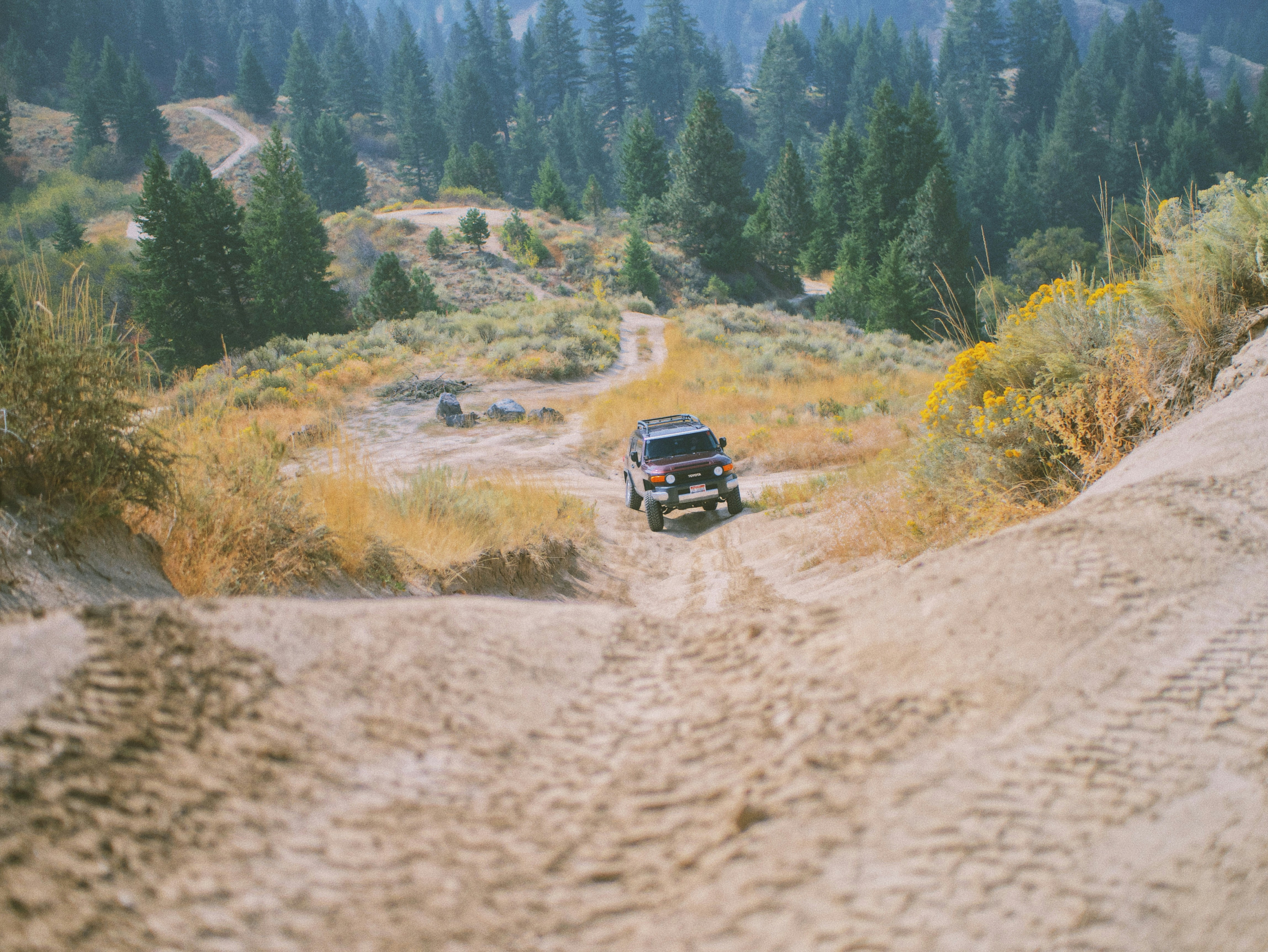
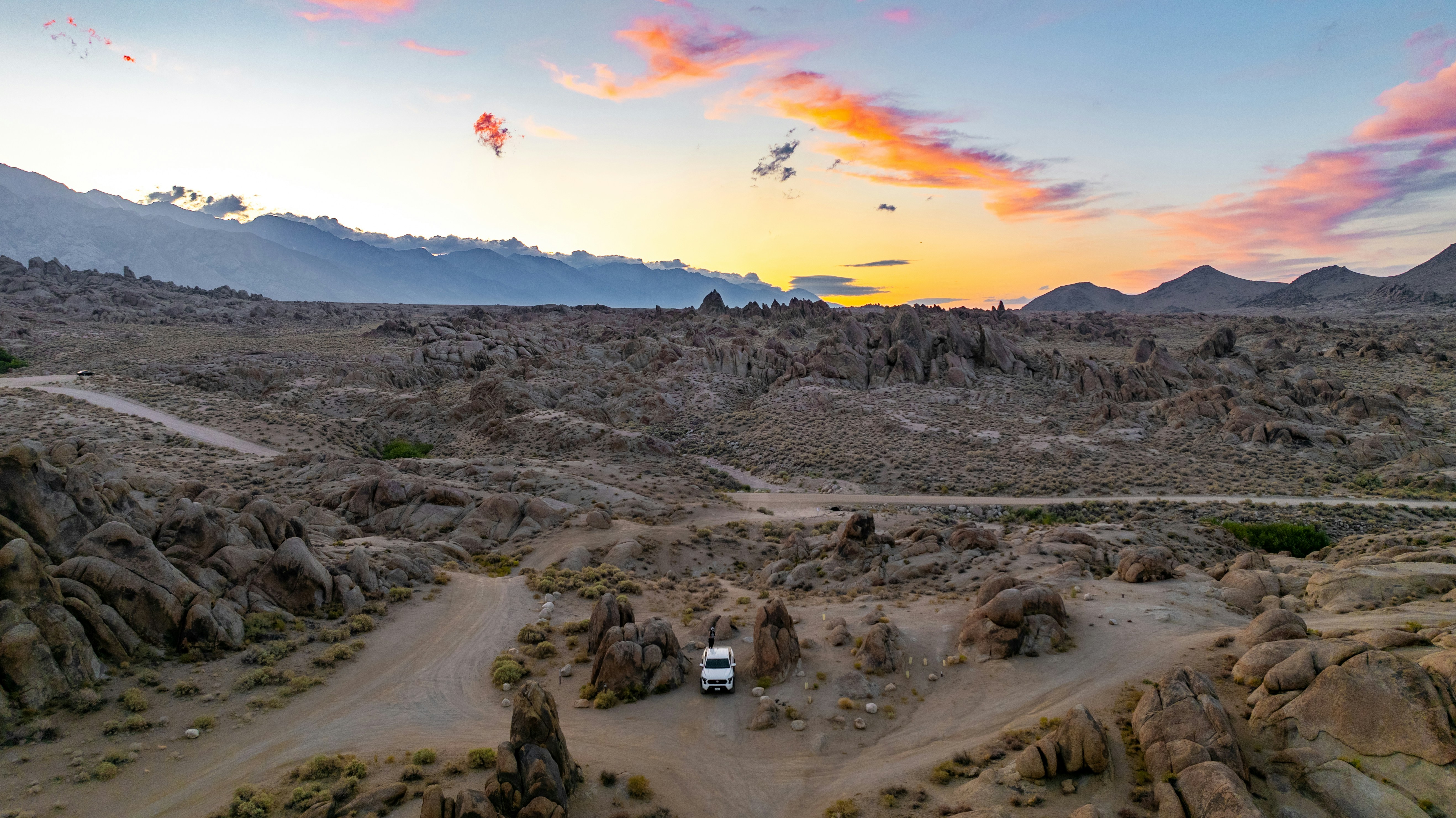

At 2.3 million acres, the Frank Church, River of No Return Wilderness is the largest contiguous wilderness area in the Lower 48. It is also, by federal law, closed to motor vehicles of every kind. That surprises a lot of riders who assume "wilderness" is just another word for backcountry. It is not. Motorized vehicles and other mechanical transport are prohibited inside the Frank Church-River of No Return Wilderness. The best motorized riding is on designated roads and OHV routes outside the wilderness boundary in the surrounding national forests. Always verify the current Motor Vehicle Use Map before entering a route.
The Boise, Payette, and Salmon-Challis National Forests surround and administer large portions of the wilderness on nearly every side. There are old mining roads, ridge routes, and groomed winter corridors that put you right up against the boundary of the wilderness boundary. This guide covers the standout rides in that ring, plus where to eat, sleep, and stop along the way.
Before you go: This corner of Idaho changes fast. Winter routes into Yellow Pine have closed in recent seasons due to landslides and road access disputes; wildfire can close summer roads with little notice; and snowpack over mountain passes creates a real avalanche risk. Check the current Forest Service Motor Vehicle Use Map, Idaho Parks and Recreation trail information, and current closure/condition reports before riding. TrailIntel can provide an additional layer of live rider reports and navigation.
 Best Easy Ride: Warren Auto Tour
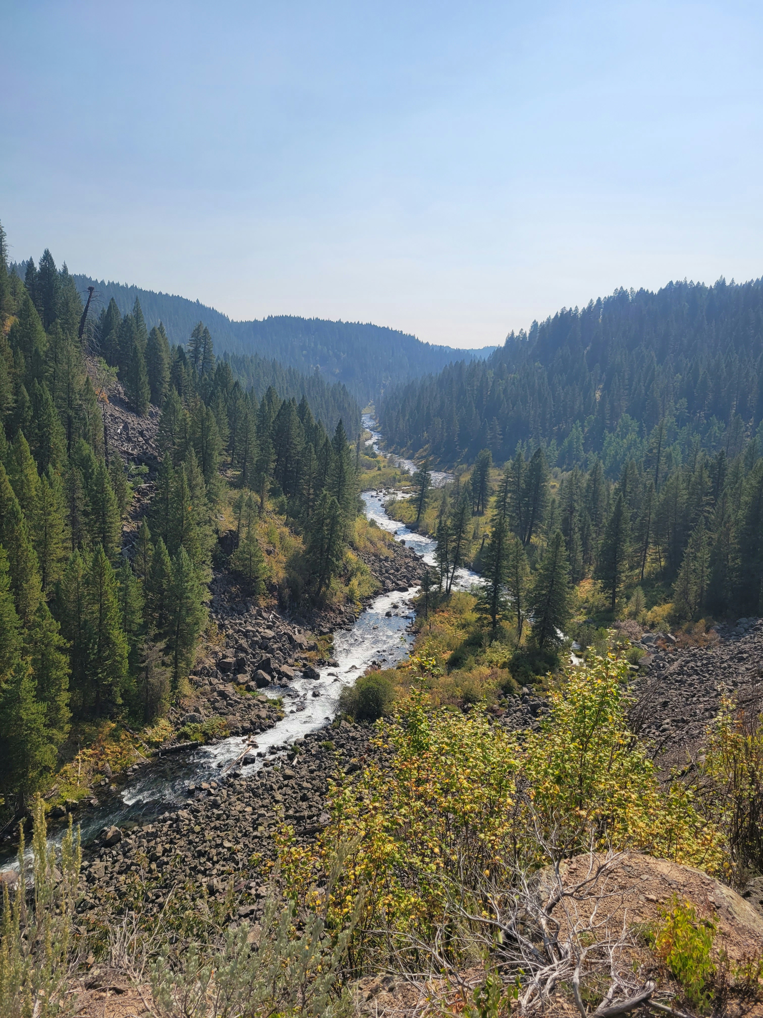
Starting in McCall, Warren Wagon Road runs 44 miles north along Payette Lake and the Secesh River drainage to the old mining town of Warren, right on the western edge of the Frank Church Wilderness. Much of it is a wide, well-graded route that novice riders and families handle comfortably, with pullouts, campgrounds, and interpretive stops built for a slower pace. It is signed as the Warren Auto Tour, so you get mile-by-mile history along with easy footing.
Riders looking to stretch their legs a bit can branch off at Chinook Campground for the flat, forested approach to Loon Lake, still an easy grade but with more of a backcountry feel.
Best Moderate ATV Ride: Ruby Meadows
Out of Ruby Meadows Trailhead near Chinook Campground, this route mixes forested singletrack and two track with rockier stretches and creek crossings that call for some ATV or UTV experience without tipping into technical territory. It threads through the Secesh drainage along the edge of the wilderness, with enough elevation change to feel like a real ride while staying well short of the exposure and rock crawling found further east toward Thunder Mountain.
Best Difficult ATV Ride: Monumental Summit / Thunder Mountain
This is the test piece of the region. Starting near Yellow Pine and climbing past the Stibnite mining district, over Monumental Summit, and on to the ghost town of Thunder City, the route racks up more elevation gain than any other trail in the area on tight, rocky, washed-out tread. Sections near Stibnite are narrow, loose, and unforgiving of a wrong line. This is a trail for experienced riders on a well-maintained machine, ideally in a group, with a plan filed and someone at home who knows your route.
Best Scenic Ride: Pilot Peak Lookout
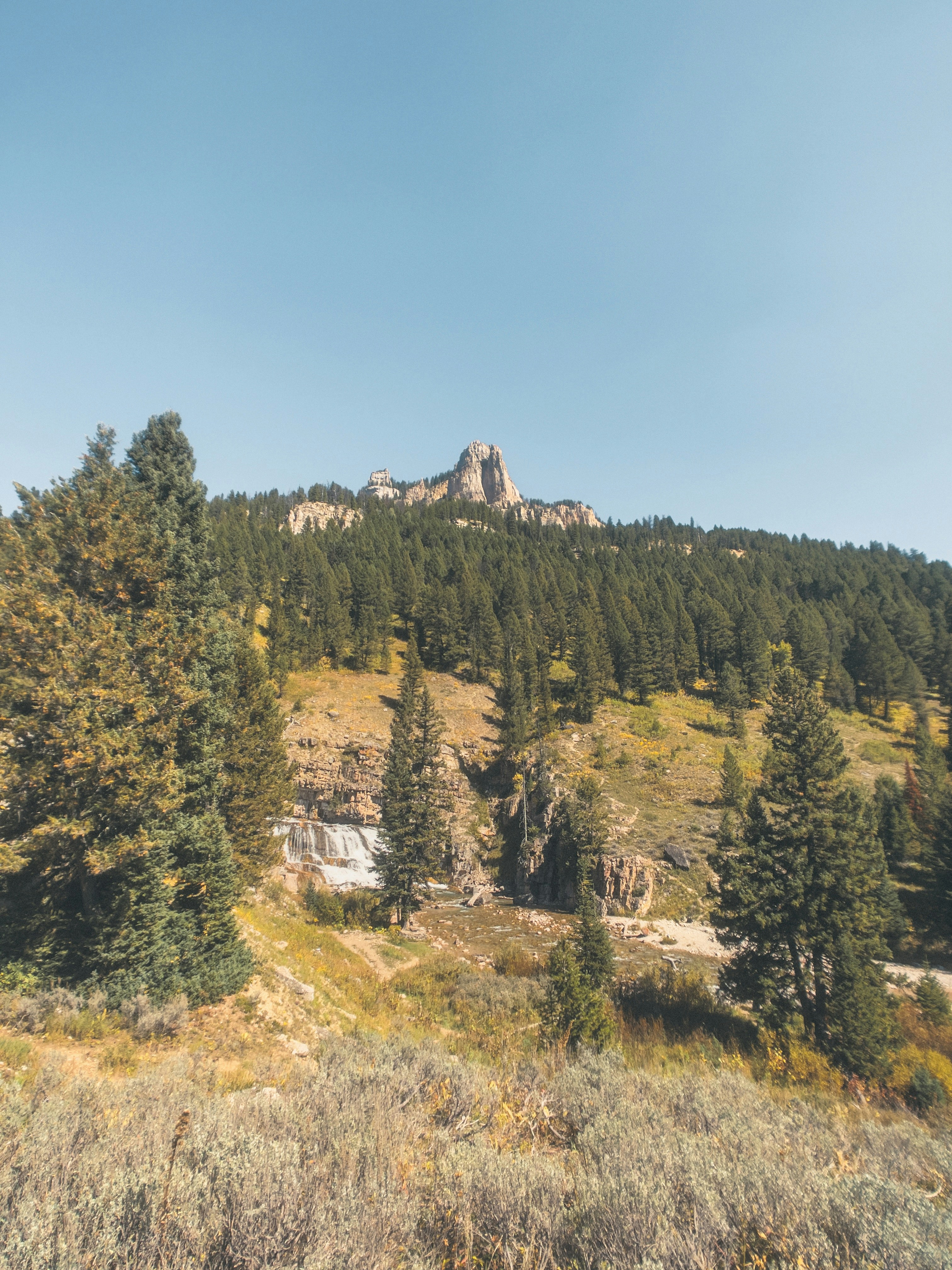
Out of the old mining town of Warren, this roughly 65 mile round trip follows the South Fork Salmon River before climbing Elk Creek to the Pilot Peak Lookout at over 8,000 feet. The lookout road runs right along the Frank Church boundary, with pullouts built for photographs across the wilderness canyons below. There is no fuel, food, water, or cell service on this route, so come prepared and let someone know your plan.
Best Winter Ride: Warm Lake–Deadwood–Yellow Pine
Few routes in Idaho pack in as much variety. Starting at Warm Lake, riders cross a summer alpine lake basin, drop through the Landmark area's mixed forest and meadow, and finish in the historic backcountry village of Yellow Pine on the Frank's edge. In summer, this is ATV and UTV country.
Winter routes connect the Warm Lake, Deadwood, and Yellow Pine area to a much larger groomed snowmobile network. Riding it in both seasons is the best way to see how completely this landscape changes with the snow line.
Best Mining-History Ride: Stibnite and Thunder Mountain
The Monumental Summit route doubles as a rolling history lesson. Gold was first found near Stibnite in 1899, and the Thunder Mountain gold rush of 1901 and 1902 pulled hundreds of prospectors into these mountains on foot and by dog team through ten feet of snow. Along the trail you pass the remains of the Dewey Mine, the ghost town of Thunder City, and Roosevelt Lake, formed when a landslide dammed the creek and drowned part of the original town of Roosevelt beneath it.
Stibnite itself supplied antimony and tungsten for the World War Two effort before mining wound down in the 1990s. Old equipment, cabin remnants, and mine works still sit along the route today, so ride slowly and leave everything exactly where you found it.
Best Wildlife Spotting Ride: South Fork Salmon River and Warren Corridor
The South Fork Salmon River drainage, followed by the Warren Auto Tour and the Elk Creek route toward Pilot Peak, is one of the richest wildlife corridors bordering the Frank. The South Fork Salmon and Warren areas support elk, mule deer, black bears and bighorn sheep, and early morning or evening generally offer the best wildlife-viewing opportunities.
Early morning and late afternoon give the best odds, and the South Fork itself is prime Chinook salmon and steelhead water in season. If you plan to continue toward Salmon or Challis, the Salmon River Scenic Byway between the two towns is one of the most reliable bighorn sheep drives in the state.
Best Points of Interest
Restaurant: Yellow Pine General Store and Corner Bar
Yellow Pine is tiny, with a population usually cited around 30 people, so services run informal and seasonal. Yellow Pine has limited services, so do not count on it for fuel. Check current local conditions and fuel availability before leaving the highway. The Corner Bar offers a burger and a cold drink after a long ride. Hours in a town this small can shift with the season, so it is worth a call ahead or a check in the TrailIntel app for current status before you count on it.
Lodging: Deadwood Lodge
For a different kind of trip, Deadwood Lodge near Deadwood Reservoir is reachable by snowmobile in winter and offers guided ice fishing and snowmobile touring out of a genuinely remote basecamp, though current winter road access should always be confirmed before you head out.
Attraction: Stibnite Mining District and Thunder City Ghost Town
Reachable by ATV or UTV along the Monumental Summit route, the abandoned buildings, mine works, and drowned town site around Stibnite and Thunder City are one of the most tangible pieces of Idaho mining history you can ride to. Note that active reclamation and mining work is ongoing in parts of the Stibnite area, so stay on the designated trail and respect any posted closures.
Ride prepared: Trailheads around the Frank Church Wilderness sit far from cell coverage, and conditions on roads like Warm Lake, Johnson Creek, and Landmark have shifted year to year due to landslides, grooming disputes, and wildfire. Download offline maps and check real time trail and road condition updates in TrailIntel before you leave pavement.
FAQ
Can I ride an ATV or snowmobile inside the Frank Church Wilderness?
No. Federal law bans motor vehicles, motorized equipment, and even mountain bikes inside any designated wilderness area, including the Frank Church, River of No Return Wilderness. Riders must stay on national forest roads and trails outside the wilderness boundary.
What is the best time of year to ride the trails around the Frank Church Wilderness?
Most high-elevation ATV and UTV routes are best from July through September, once snowpack has cleared from summits like Monumental Summit and Pilot Peak. Snowmobile season generally runs from December through March, depending on snowfall and grooming, and is best checked on a route-by-route basis since access roads have closed in some recent winters.
Do I need an OHV registration to ride near the Frank Church Wilderness?
Yes. Idaho requires a valid OHV certificate of number for ATVs, UTVs, motorbikes and specialty OHVs, including nonresident machines, subject to Idaho's reciprocity rules. There generally isn't a separate wilderness permit just to ride an otherwise open motorized Forest Service route outside the wilderness, but OHV registration, road-specific rules, recreation permits, and temporary closures can apply. Before riding, verify the requirements for your machine and the specific road or trail with Idaho Parks and Recreation and the applicable Forest Service Motor Vehicle Use Map.
Where can I get fuel near these trails?
Fuel is available in McCall, Warren, Yellow Pine, Cascade, Stanley, Salmon, and Challis, but many of these are small, seasonal outlets. Long routes like Pilot Peak Lookout or the full Monumental Summit trail have no fuel along the way, so top off and carry extra before you head into the backcountry.
Is cell service available on these trails?
Generally no. Most of the routes bordering the Frank Church Wilderness have little to no cell coverage. Carry a satellite communicator or two-way radio, tell someone your route and return time, and download offline maps in advance.