.png?width=1404&height=915&name=TrailIntel-stackedLogos-01%20(5).png)
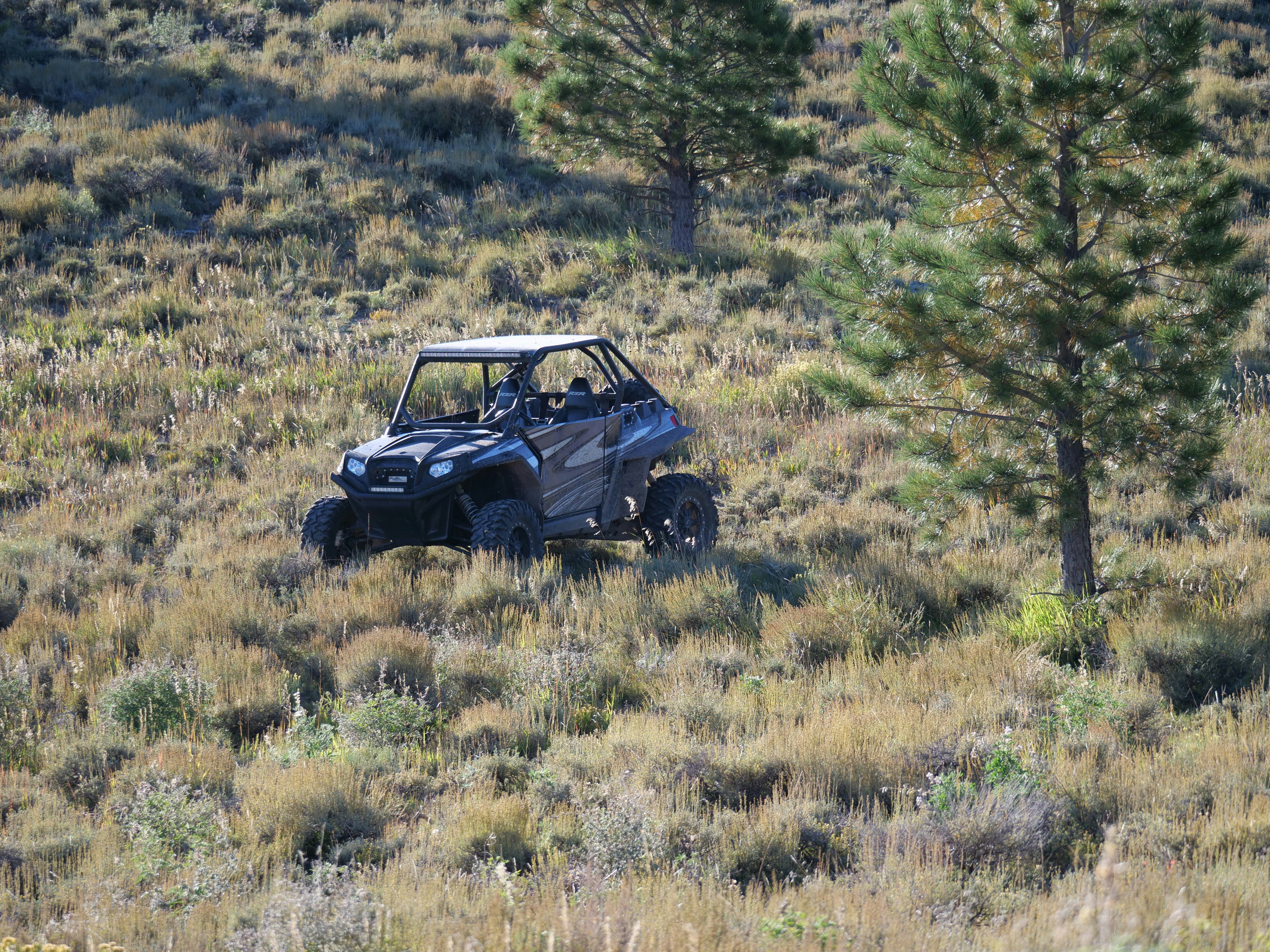
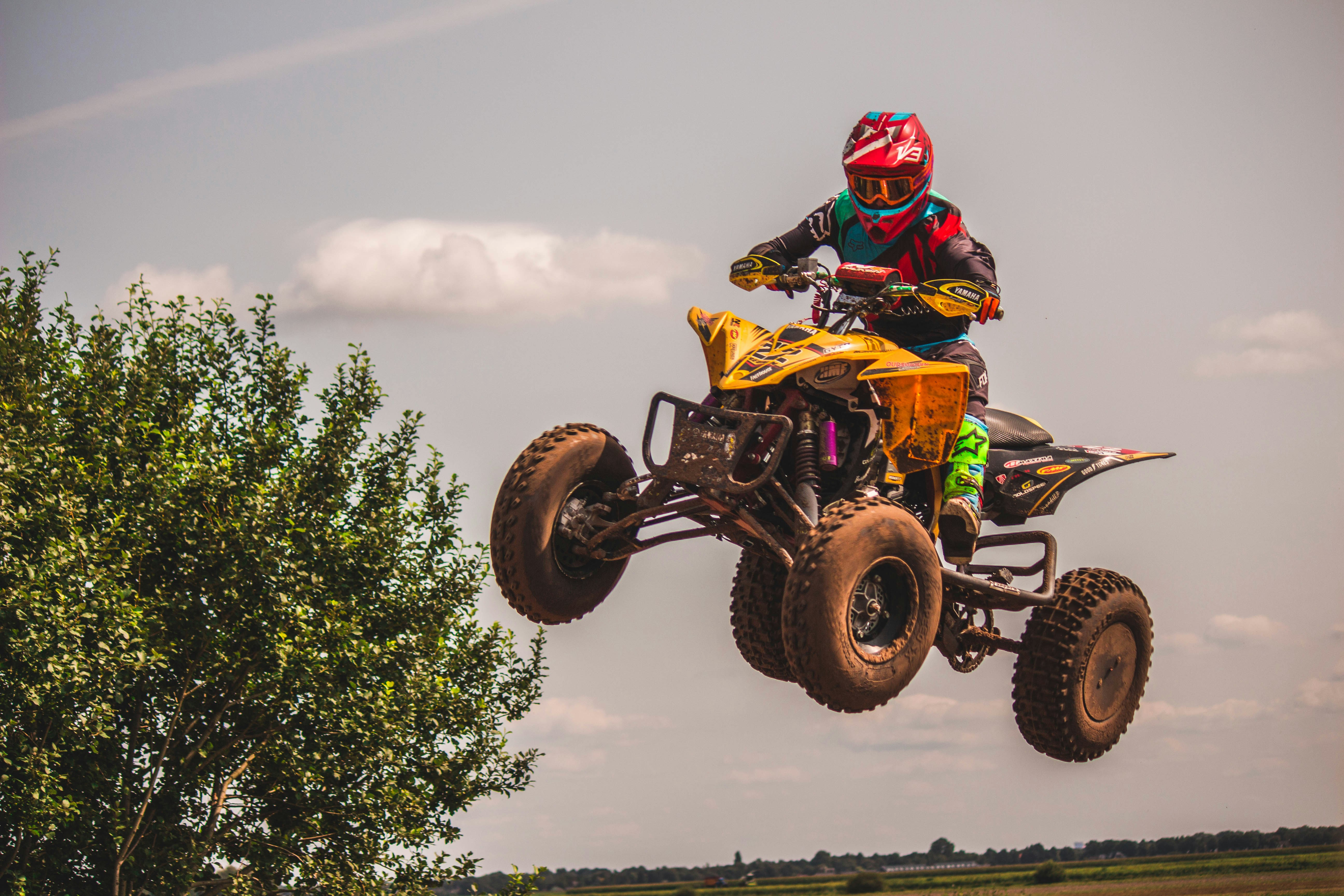

Florence County offers approximately 160 miles of ATV and UTV trails in northeastern Wisconsin, connecting directly to Michigan's Upper Peninsula and the 1,000-mile Quad County Trail System. Riders can explore beginner-friendly forest roads, challenging barrens terrain, lakeside routes, waterfalls, historic mining sites, and ATV-friendly campgrounds, making it one of Wisconsin's most diverse riding destinations.
Before you roll out, pull up TrailIntel for real-time trail and road condition updates across Florence County. Riders use the app to flag washouts, standing water, and closures as they happen, so you're never surprised by conditions the map alone can't show you.
|
Feature |
Details |
|
Trail Miles |
~160 miles |
|
Skill Levels |
Beginner to Advanced |
|
Trail Type |
Forest, sand, barrens, gravel, clay |
|
Connects To |
Michigan UP + Quad County Trails |
|
Total Connected Mileage |
Nearly 1,000 miles |
|
Camping |
Lake Emily, Morgan Lake, West Bass Lake |
|
Waterfalls |
3 |
|
Famous Ride |
Turners Grade |
|
ATV Park |
Fisher Lake ATV Park |
|
Border Crossing |
Michigan ORV sticker required |
Why Florence County Belongs on Your ATV Bucket List
The Florence County trail system is maintained entirely by unpaid volunteers with the Blue Ox Trail Riders club, a group formed in 2010 when the county's separate ATV and snowmobile clubs joined forces. Their work has earned the trail system a five-star rating from regular riders, and it shows. Trails wind through the Spread Eagle Barrens State Natural Area, the Chequamegon Nicolet National Forest, and county and industrial forest land, linking up with neighboring Forest, Marinette, and Oconto Counties as part of the Quad County Trails network, a system totaling nearly 1,000 interconnected miles.
What sets Florence County apart is the variety packed into a relatively compact area. You can ride sandy forest two-track in the morning, twist through rocky barrens terrain by afternoon, and cross into Michigan's Upper Peninsula before dinner, all without leaving the county's trail network.
Best Beginner ATV Trails in Florence County, Wisconsin
New riders and families do well starting on the northern segment of the Nicolet State Trail, which runs through the western part of the county with a trailhead in Tipler. It's wide, well marked, and shared with horseback riders, so sight lines are good and the surface stays predictable.
For riders who want to build confidence off pavement before hitting the trail system, the 17-acre Fisher Lake ATV Park on the south side of Florence is an ideal warm up. It's a dedicated off trail riding area designed for practicing in dirt and mud without navigating intersections or oncoming traffic.
The southern stretch of what locals call the F15 corridor, connecting from the Dunbar park and ride north into Florence County, is also considered rideable by all skill levels. Expect sandy surface with occasional low, wet spots after rain, but nothing technical.
Quick beginner picks
- Nicolet State Trail, northern segment (Tipler trailhead)
- Fisher Lake ATV Park, 17 acres of dedicated off-trail terrain
- F15 corridor, southern portion near the Dunbar park and ride.
Best Intermediate ATV Trails in Florence County, Wisconsin
Once you're comfortable reading trail surface and shifting your weight through turns, the F2 Lake Emily trail is a natural next step. This seven-mile stretch starts as a hard-packed trail and gradually introduces more varied footing as it runs alongside Lake Emily, giving riders a taste of changing terrain without going full technical.
The F16/6 Barrens Natural Area Trail is another strong intermediate option. It runs along County Road N before entering the open Barrens, where the surface shifts regularly between gravel, clay, and sand. Riders share this stretch with road-going vehicles in spots, so it rewards riders who are already managing throttle control and awareness at the same time.
The F6 North Horseshoe adds a short, twisting loop that connects several of these routes, useful for riders who want to string together a fuller day without committing to the county's most demanding terrain.
Quick intermediate picks
- F2 Lake Emily, seven miles of hard-packed to varied surface
- F16/6 Barrens Natural Area Trail, gravel, clay, and sand through open country
- F6 North Horseshoe, a twisting connector loop

Best Advanced ATV Trails in Florence County, Wisconsin
Turners Grade is the county's signature advanced ride. It runs from the Wisconsin- Michigan border toward the outskirts of Iron Mountain, and riders crossing from the Wisconsin side immediately encounter the remains of an old trestle bridge, a relic of the region's logging and mining era. The terrain here demands more attention than the trails closer to Florence proper.
Deep in the Barrens Natural Area, sections of trail switch between rock, sand, and clay with little warning, and after wet weather, low-lying stretches along the F15 corridor can hold up to a foot of standing water. Experienced riders looking for a genuine test should plan routes that string together the Barrens interior trails with the border crossing sections near Turners Grade, ideally with a buddy and a downloaded offline map.
Quick advanced picks
- Turners Grade, border crossing trail with historic trestle remains
- Barrens interior trails, mixed rock, sand, and clay surface
- Low-lying F15 sections after rain, standing water up to 12 inches
Best Historic ATV Trails in Florence County, Wisconsin
Florence County's identity is built on iron. The Florence Vulcan Mine operated from 1880 to 1931, shipping more than 7 million tons of hematitic ore and shaping the towns of Florence and Commonwealth in the process. You can still feel that history on the trail, especially along Turners Grade, where the remnants of an old railway trestle bridge mark what was once a critical route for moving ore and timber.
Plan a stop at the Florence County Historical Museum, opened in 2007 in the heart of the historic district, where exhibits cover the mining boom, the logging era that followed once white pine forests were discovered after 1865, and the everyday life of early settlers. Pair a museum visit with a ride past the old mine sites for a day that mixes trail time with genuine Northwoods history.
Quick historic picks
- Turners Grade, old trestle bridge remains at the Michigan border
- Florence Vulcan Mine area, active from 1880 to 1931
- Florence County Historical Museum, in the city's historic district
Best Scenic ATV Trails in Florence County, Wisconsin
If you're riding for the views, point your ATV toward the Spread Eagle Barrens State Natural Area. It's an open, rolling landscape that feels completely different from the dense forest trails elsewhere in the county, with long sight lines across the barrens and excellent views from the hilltop sections of trail.
The trail network also threads past three waterfalls, Breakwater, LaSalle, and Washburn, along with multiple scenic overlooks and county parks. The F2 Lake Emily route runs directly alongside its namesake lake, and riders can extend the day with a stop at one of three ATV-friendly campgrounds at Lake Emily, West Bass Lake, or Morgan Lake.
Quick scenic picks
- Spread Eagle Barrens State Natural Area, open rolling terrain and hilltop views
- Breakwater, LaSalle, and Washburn waterfalls
- F2 Lake Emily, trailside lake views
Best Variety ATV Trails in Florence County, Wisconsin
For riders who want everything in one trip, Florence County itself is the answer. Its position inside the Quad County Trails network means a single day of riding can take you through dense national forest, open barrens, lakeside trail, waterfall stops, and straight into Michigan's Upper Peninsula, all on connected, marked routes. Riders headed north need a Michigan ORV sticker, available at the Wild Rivers Interpretive Center at the corner of US 2 and Highway 70 in Florence.
A good variety loop might start at Fisher Lake ATV Park, move through the F2 Lake Emily and Barrens trails for scenery and moderate technical riding, and finish with a border crossing run toward Turners Grade for a taste of history and harder terrain, all in a single well-planned day.
Frequently Asked Questions
How many miles of ATV trails does Florence County have?
Florence County maintains around 160 miles of dedicated ATV and UTV trails and routes. Factor in the connected Quad County Trails network with Forest, Marinette, and Oconto Counties, and riders have access to nearly 1,000 miles of interconnected riding, plus additional mileage across the border in Michigan.
When are the trails open?
Trails are generally open year-round, though the entire system closes each spring for breakup season while the ground thaws, typically for several weeks in March and April. Closure dates shift year to year based on weather, so check current conditions before you load up.
Do I need a Michigan sticker to cross the border?
Yes. Since Florence County trails connect directly into Michigan's Upper Peninsula, riders crossing the state line need a Michigan ORV sticker. These are available for purchase at the Wild Rivers Interpretive Center in Florence.
Where can I get a trail map?
The Blue Ox Trail Riders publish the official Florence County ATV and Snowmobile trail map. Maps are available by contacting the Florence County Visitor Center or through the county's tourism website, and current trail status is posted seasonally as conditions change.
Is Florence County a good fit for beginner riders?
Yes. The Nicolet State Trail's northern segment and the Fisher Lake ATV Park both offer low-pressure riding for newer riders, while more experienced friends can peel off onto intermediate or advanced sections nearby, making the county a solid choice for mixed skill groups.
Where can I camp near the trails?
Florence County has three ATV and UTV-friendly campgrounds directly tied to the trail system: Lake Emily, West Bass Lake, and Morgan Lake. The county also offers 18 public and private camping areas total, ranging from primitive tent sites to full-service RV parks.
Trail conditions change quickly in the Northwoods. Always check current status with the Blue Ox Trail Riders or the TrailIntel app before you ride, and stay on designated trails marked with brown and white signage.